A new online tool has been launched this week to help tackle road runoff pollution in London’s rivers by highlighting the best places to install nature-based solutions such as wetlands.
The development of the first-of-its-kind tool by Thames21 builds on years of research by the environmental charity and its partners Middlesex University and the South East Rivers Trust, which contributed with mapping, scoping and reporting.
Pollution from our roads adds to a number of problems for our rivers coming from sewer overflows, litter and misconnected drains. However it is often the Cinderella of pollution topics, because it receives far less public attention than sewage or agricultural causes.
Research from the Rivers Trust shows that the UK’s 1,600 rivers are affected by a cocktail of chemicals that are speeding up aquatic nature-loss, affecting insects, birds and mammals.

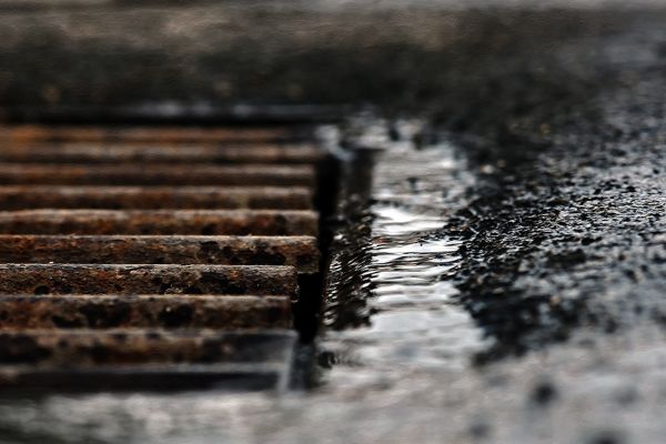
Road runoff can contain residue from oil spills, as well as tyre and brake wear from vehicles. These build up during dry weather and are then washed into rivers and streams when it rains.
The new tool will help decision makers prioritise the right water quality improvements:
- in greenspaces that lie between the road and the river
- at road locations in Outer London where surface water drains to the rivers; and
- on London’s main strategic road network (includes Transport for London’s roads and some sections of National Highways’ and local authority roads)
Thames21 started its initial road runoff project identifying key polluting roads in 2019, with funding from the Mayor of London, Transport for London, and the Environment Agency. The British Geological Survey built the online decision support tool ‘Road Pollution Solutions’ and provided some additional support through the UKRI NERC-funded CAMELLIA project.
The South East Rivers Trust contributed research on sites in South London, including Surbiton, using its GIS mapping technology and catchment-based approach, identifying places where solutions such as wetlands could be built to counter the pollutants. By providing a natural barrier and filter using nature-based solutions, some of this road runoff pollution can be captured and prevented from entering rivers in the first place.
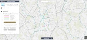
Users of the tool can search different boroughs, pinpoint particular areas and see just how polluting they are. This will help to prioritise where solutions could be put in place as mitigation. The tool shows the location of rivers, sewage outfalls and areas that drain into waterways.

Modelling has shown that 2,415 road sections covering a total of 451.43km of London’s roads assessed pose a high risk of causing road runoff and are therefore a priority. Roads where heavy goods vehicles regularly apply their brakes are often the worst affected.
Community groups can also easily see pollution hotspots and help to suggest solutions by working for example with the authorities or through catchment partnerships.
The tool – which extends to all outer London boroughs – allows uses to access data by boroughs or river catchment and includes the Wandle, Beverley Brook, Hogsmill, Upper Darent, Lower Cray and Upper Cray.
Working in partnership, authorities responsible for these roads could intervene by providing nature-based solutions in these areas to help make runoff cleaner, and improve water quality in local rivers and watercourses.
Find out how the tool works by reading the user guide.
